
By John Page Williams
Photos by John Page Williams
For people driving along Route 3 just east of Warsaw, Totuskey Creek is a narrow blip in passing, except maybe for the two tall but rusting grain tanks on the east bank. Put a boat into the creek from the DWR landing on the opposite bank, though, and Totuskey will pour out its stories.
Totuskey Creek is an old friend. From the bridge and the DWR landing, the tidal creek flows about five miles down to the Rappahannock just east of Wellfords Wharf and opposite Wares Wharf. We visited it again with a cousin at the end of November, when local crabbers were pulling up their pots for winter. The landing is a valuable facility for them as well as visitors interested in Totuskey’s history, both natural and human. Though appropriate boats range from paddlecraft to large outboard skiffs, the creek’s winding channel is navigable and buoyed up to the bridge for larger craft. Above the bridge, though, it’s small boat territory, as the Northern Neck National Heritage Area’s Totuskey Creek Water Trail Map reveals.
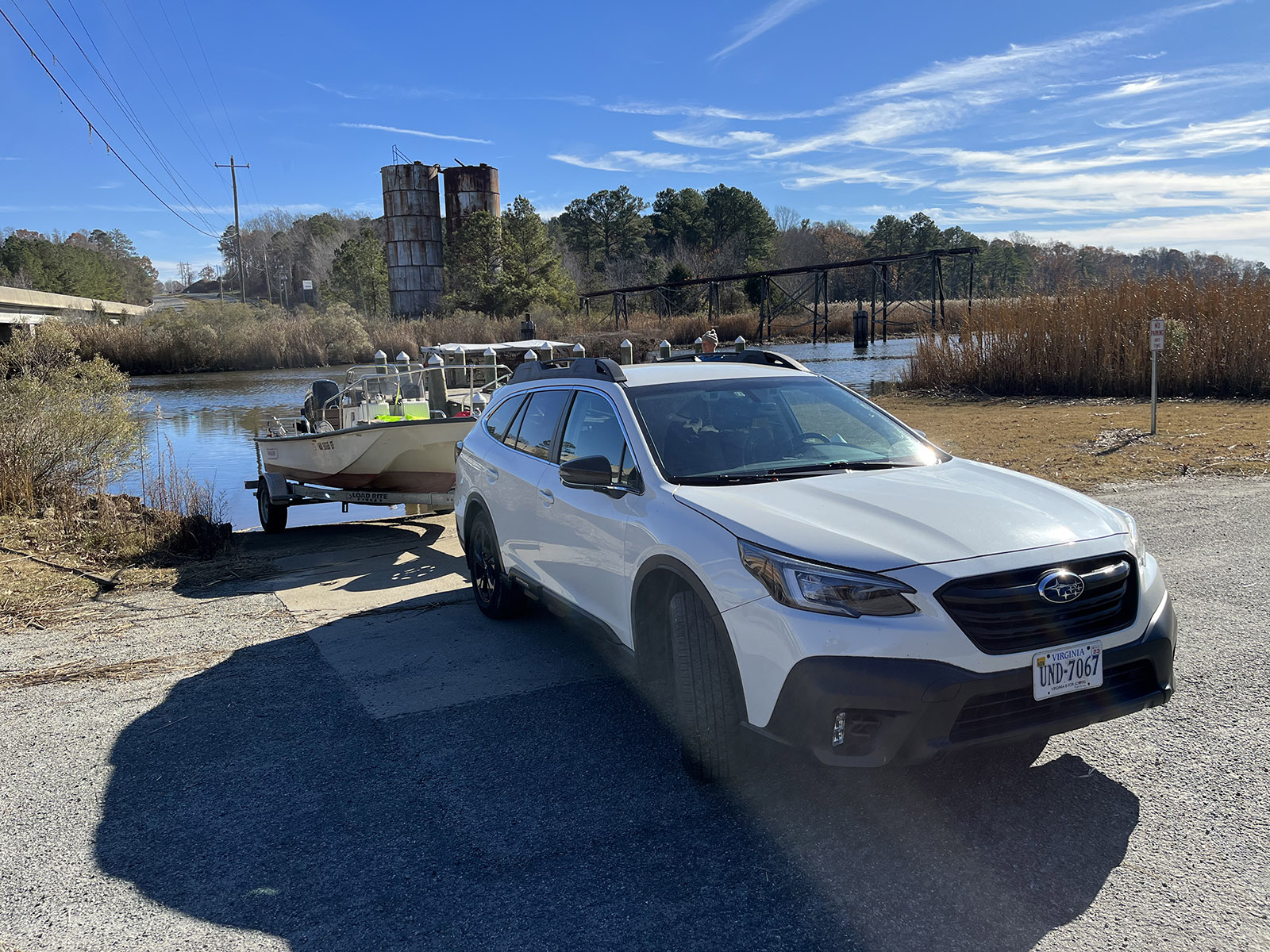
The Totuskey Creek boat ramp.
Like all the powerful tidal creeks that flow from the tall spine of the Northern Neck, Totuskey has a long, heavily wooded watershed whose head cradles that of another, the Potomac’s Coan River. Appropriately, the divide between the two is Ridge Road (Route 600) around the village of Rainswood, more than 100 feet above sea level. The Rappahannock and Wicomico people used the short portage from one tributary to the other for travel between the Rappahannock and the Potomac.
Prior to the arrival of English colonists, Totuskey Creek marked the territorial boundary between the Rappahannock and Moraughtacund Tribes. In August of 1608, Captain John Smith met both and reportedly settled a dispute between them. By the middle of that century, pressure from English settlers caused the two tribes to join forces in a town up today’s Little Totuskey Creek, with territory extending west to Fones Cliffs. Later, they sold their land to colonists and moved across the river to Indian Neck in King & Queen County, where many of their descendants live today. (They have recently re-acquired much of their territory on Fones Cliffs.)
With that large watershed draining to Totuskey, no wonder there’s 19 feet of water in the sharp turn at the bridge, or that for four centuries, English colonists and later Americans found it a useful artery for shipping out tobacco, timber, grain, and produce from the Northern Neck’s interior. Return traffic carried coal and later fuel oil as well as manufactured goods. Also typical of these waterways, though, is the fact that the creek’s channel grows shallower approaching the Rappahannock. It took considerable skill to pilot a schooner or buy-boat across the bar at the creek’s mouth and through the tight meander turns leading up to the bridge.
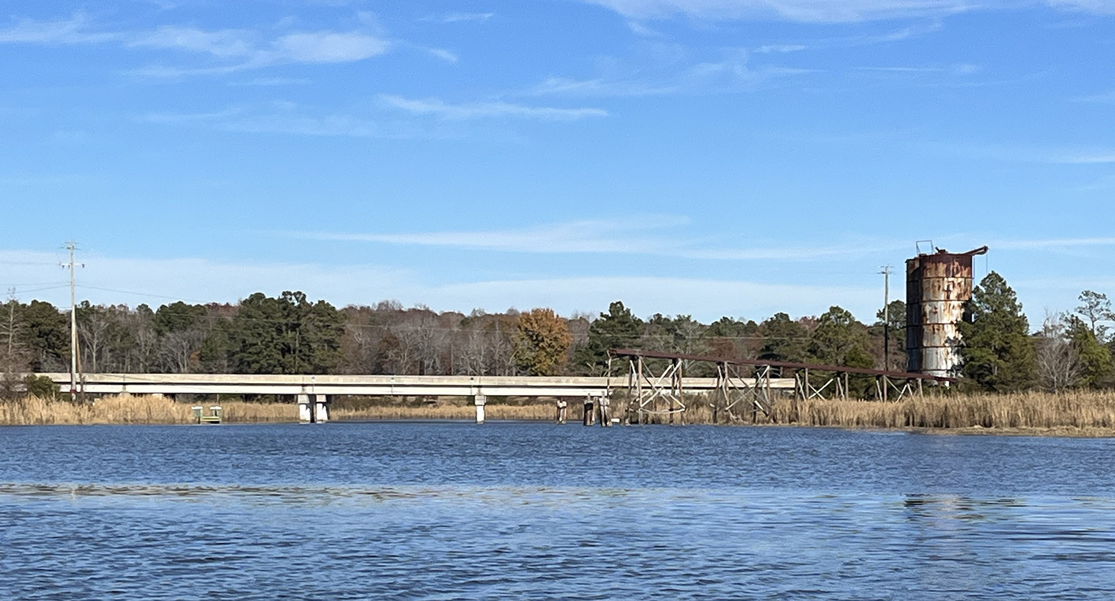
The Totuskey bridge, with the grain silos.
Wharves on the outsides of those meanders on the lower creek hosted numerous tobacco warehouses, farm landings, sawmills, and at least one shipyard. Two decades into the 21st century, it takes imagination to think how isolated those farms were before bridges and paved roadways connected Totuskey Creek and other Rappahannock tributaries even to county seats like Warsaw and Tappahannock, much less a city like Richmond. Ferry service across the creek began in 1689 and the first wooden bridge came into service in 1742, along with a store and wharf at the crossing. Maintaining a functioning crossing was a challenge, though, until the first steel bridge opened in 1930, along with a tarred road that ran to Warsaw. For nearly three centuries, Totuskey Creek was the commercial lifeline for the people who lived around it.
On our trip, we ran first down the brackish lower creek. It’s flanked by broad marshes of big cordgrass, leading to the Rappahannock. The big river is consistently salty enough just downstream of the creek’s mouth to offer a number of public-harvest and leased oyster grounds to watermen using hand tongs. Those shell bottoms attract local fish like white (“stiffback”) perch and school rockfish, as well as spot, croakers, and puppy red drum in warm weather. Lower Totuskey holds perch and blue catfish, which also range all the way up into the creek’s fresher waters.
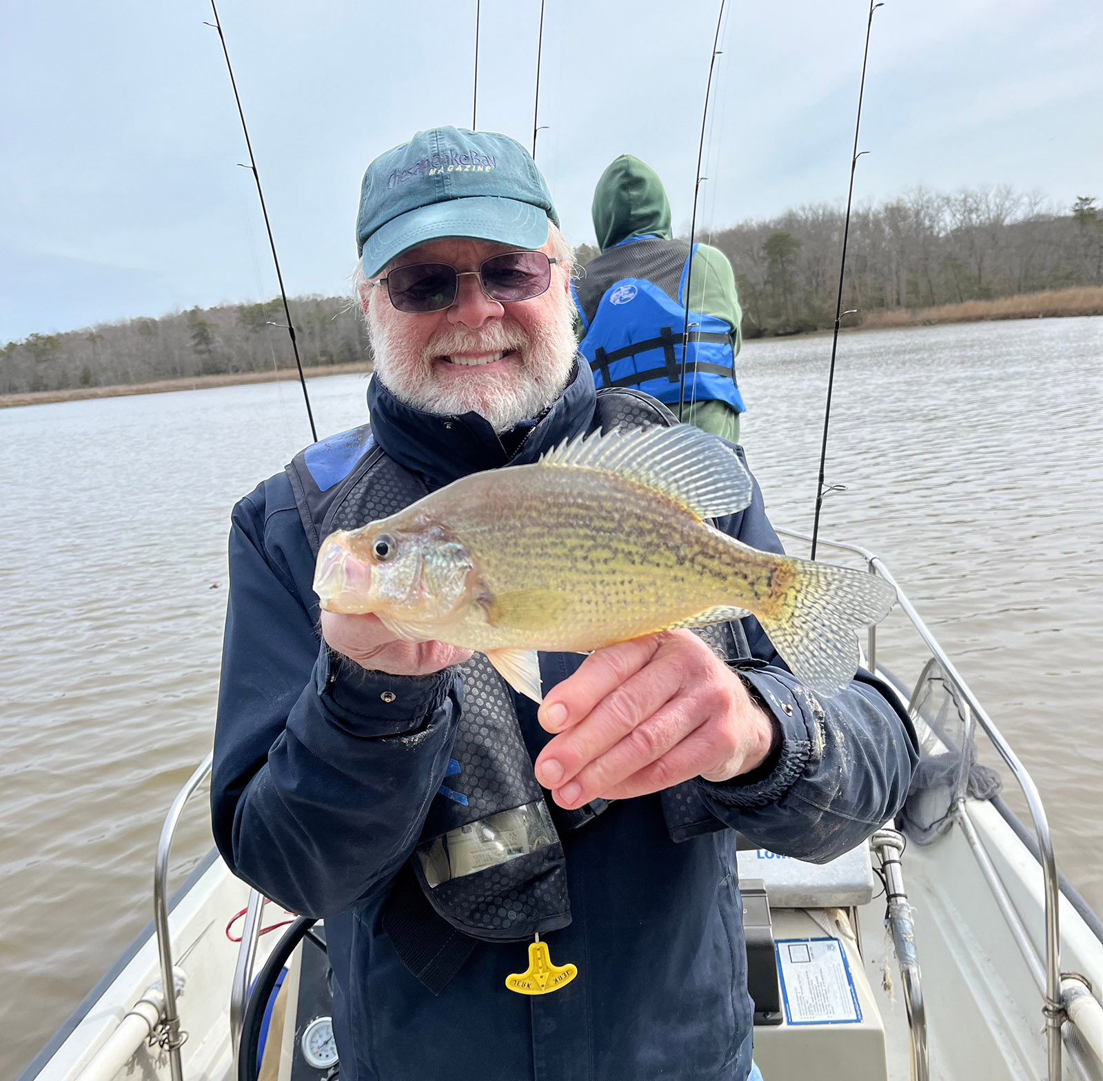
John Page Williams with a black crappie caught after launching off the Totuskey Creek boat ramp.
Returning to the bridge, we explored upstream for about five miles as the creek narrowed and changed character before we turned around where a fallen tree blocked our passage. With a high tide, we had at least a couple of feet under the skiff, plenty to keep the engine cool, even though we had gone well beyond the limits of the electronic chart on my plotter.
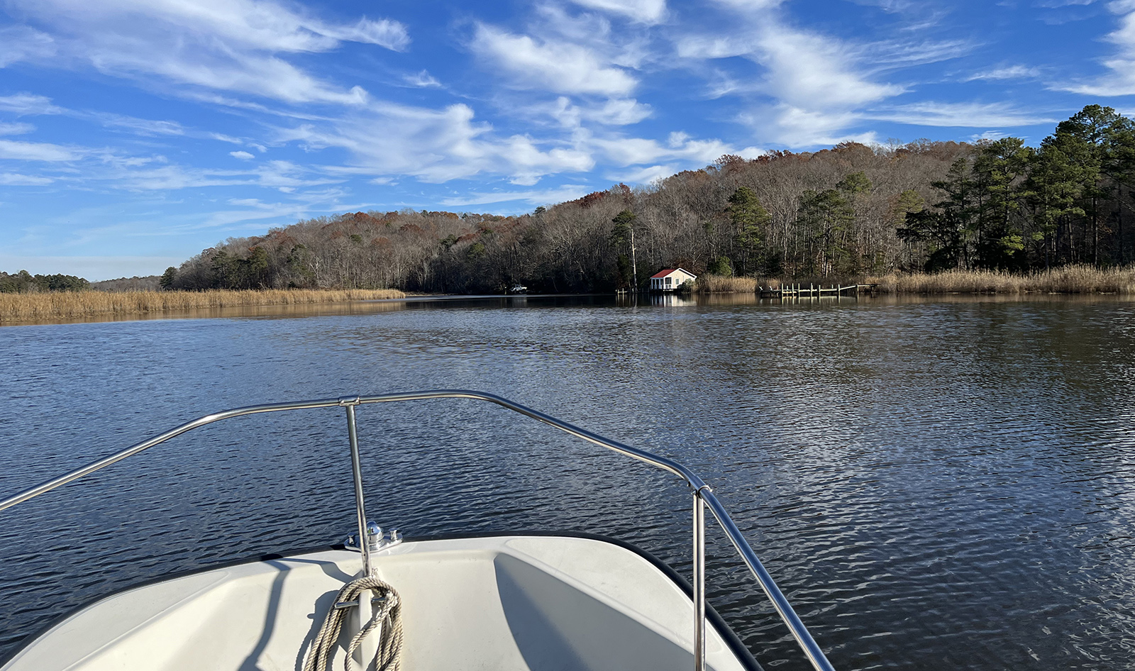
Heading upstream from the bridge.
The marshes up there indicate fresh runoff keeping the salt at bay, with a mixed community of tidal fresh vegetation. Even though cold weather was turning the plants to stubble, we could see many fallen stalks of wild rice and the remains of spatterdock fields. Multiple duck blinds hinted at migratory birds wintering there. We turned on the Merlin Bird ID phone app and caught the sound of a pileated woodpecker hammering away in the woods.
Spring run fishing in the headwaters would include yellow (ring) perch, white perch, and possibly a few hickory shad, along with what remains of a river herring run that must have been important to both humans and wildlife up until half a century ago. There’s a rumor of a few largemouth bass and snakeheads in the headwaters as well. A few passes of a fine-mesh dipnet around the launch ramp might well yield enough grass shrimp for bait to make another great trip up Totuskey Creek.
