
By Shannon Brooks
Photos by Shannon Brooks
I spend roughly one day out of every four fishing somewhere for something, all year long. My fishing craft of choice is a small yellow sit-in recreational kayak that I’ve outfitted for quick trips to local fishing holes.
The arrangement has worked well, giving me a lightweight, maneuverable fishing platform that’s highly versatile and inexpensive. For a long time, however, I lamented the fact that there was no convenient place to put a fish finder. I experimented with the castable/bobber-style fish finders that synced with a cell phone when they came out a few years ago, but I had constant issues with battery life and connectivity—not to mention trying to juggle rod, line, bobber, and phone. I soon relegated the castable finder to paperweight status on my desk.
It turns out, however, that not having access to technology doesn’t mean you have to fish blind. There are a few tips and resources that can help you “read” the water almost as well as a sonar scanner.
The first recommendation is simply to do your homework—that is, spend some time looking over depth maps for the area you’ll be fishing. These maps are readily available for free online and help you better understand what’s going on under the surface, topographically speaking. These maps not only show underwater depth gradients, but also sunken features: old road beds, submerged bridges, artificial fish habitat, and more. Knowing where these structures are can mean the difference between fishing and catching.
A simple internet search will yield half a dozen different depth maps for any given body of water, each with different bells and whistles. Look for maps that include underwater features and dock outlines as well. This will help you identify zones that are most likely to hold fish. For example, some years ago, I stumbled across a hot spot for crappie and stripers in the middle of a stretch of open water in our cove. It was a mystery, since there were no docks nearby, no fallen timber, nothing to indicate prime fish real estate at all. A look at the underwater map for our lake revealed a submerged bridge right in this spot. Moreover, it lined up perfectly with the channels of the two creeks that fed the cove, creating ideal current conditions to attract food and stable temperature conditions almost year-round. Mystery solved and lesson learned!
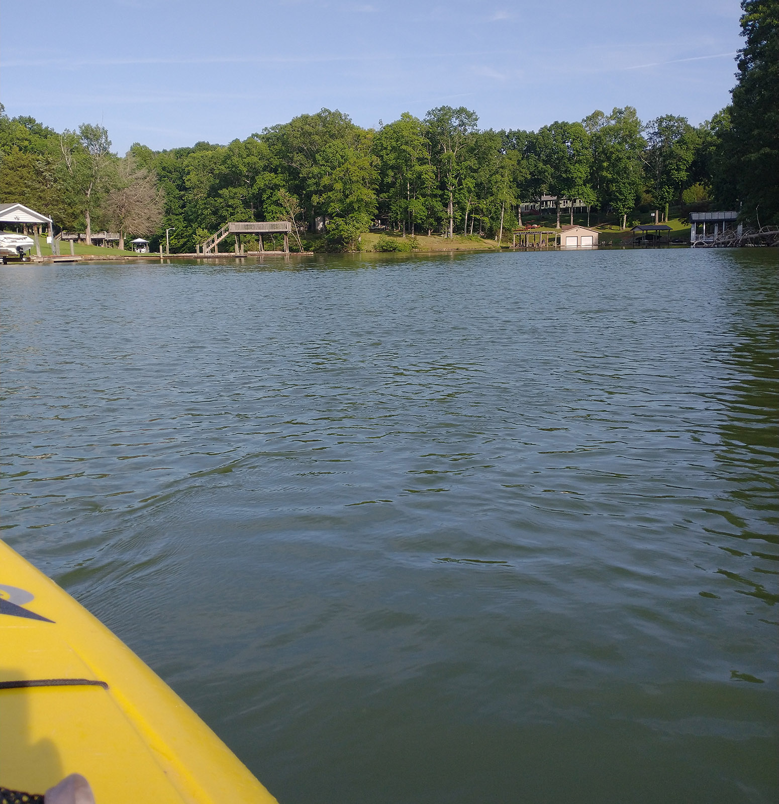
Time spent looking at depth maps can reveal underwater features that make all the difference to anglers, like the submerged bridge approximately 30 feet underneath my kayak in this otherwise unremarkable cove.
Underwater maps provide clues about hidden structure, but they also reveal geographical features that make a difference, like sharp drop-offs alongside mountains, broad shallows alongside creeks, shallows outside deep channels, and more. Sharp drops in depth often hold larger fish hoping for hapless small fry to wander too close to the edge, where they can launch a sneak attack from beneath. Bouncing a jig over these drops can be very productive. Creek channels can also be read on these maps, which in turn provides clues about where debris that has washed downstream would tend to lodge and pile up, providing holding space for larger fish.
If you don’t have a chance to do your reading beforehand, however, don’t worry. There’s a lot you can tell about a spot’s “fishiness” even if you’ve never wet a line there before. Just look for what the land is telling you.
Everybody knows that blow-downs are excellent fishing spots, but bank stumps are even better. Stumps near the water’s edge that have clearly been chainsawed indicate fallen timber at some time previous. Since nobody I know bothers to drag fallen trees out of the water, it’s all but certain the tree was cut and dragged into deeper water nearby, where it now holds bait fish and things that find bait fish tasty. These spots will often hold black crappie and white perch, best reached by drop-shotting minnows in order to get a line to depth without getting snagged.
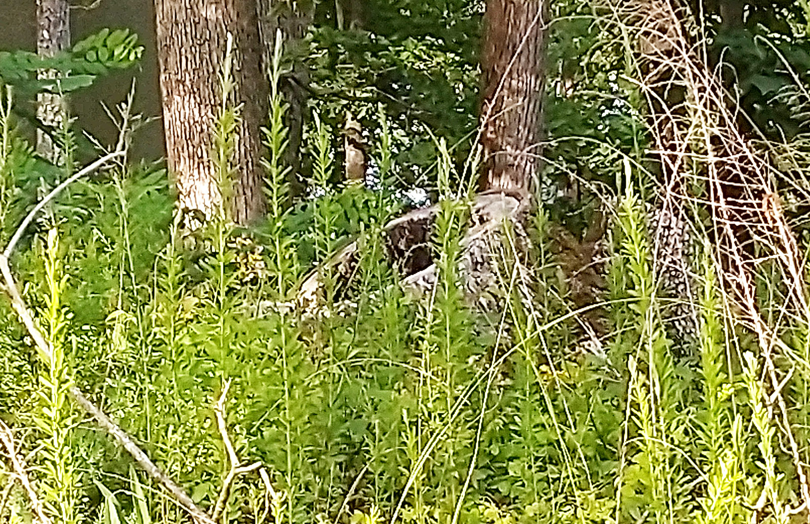
Landowners generally prefer to cut and sink blowdowns near the water’s edge to create fish structure. Shoreline stumps in back coves often mark the location of local “honey holes” known only to neighborhood anglers.
Speaking of trees, keep an eye out for debris piles along shorelines. Spring rains and fall hurricanes send torrents of tree litter into lakes, where prevailing winds blow it into the same coves and docks year after year. Since most homeowners do not remove this trash but simply wait for it to sink of its own accord, large piles of underwater debris accumulate over time that play host to dozens of different species.
How to find these aquatic apartment complexes? Look at the shoreline. Are there lots of branches and limbs caught in the riprap? Has someone piled up driftwood for burning? Is there a “slick” of bark and pollen caught in a corner between the dock and shore? Any of this on the surface indicates a lot more of it beneath, and brushy, woody piles like these are often hotspots for yellow perch and largemouth bass. Be mindful of snags, however, and either fish shallow or use weedless hooks.
You don’t have to spend a fortune to find success on the other end of a fishing rod. All you need to do is improve your reading skills—taking the time to read depth maps, that is, and learning to read the land.
Shannon Brooks is a teacher in Franklin County who enjoys fishing, hunting, and getting her hands dirty in the garden and orchard.
