By John Page Williams
Photos by John Page Williams
River mouths always tell stories, and we get to listen when we visit them. In the Chesapeake, the present shape of landforms around and under the water show the results from about 15,000 years of weather and sea level rise. On the north side of the Rappahannock’s mouth during the last Ice Age, when sea level was about 330 feet below today, Windmill Point was a ridge on a long peninsula that extended out to the main channel of the ancestral Susquehanna River. It formed from sediment settling out over millions of years where the currents of the big river to the north and the Rappahannock’s collided.
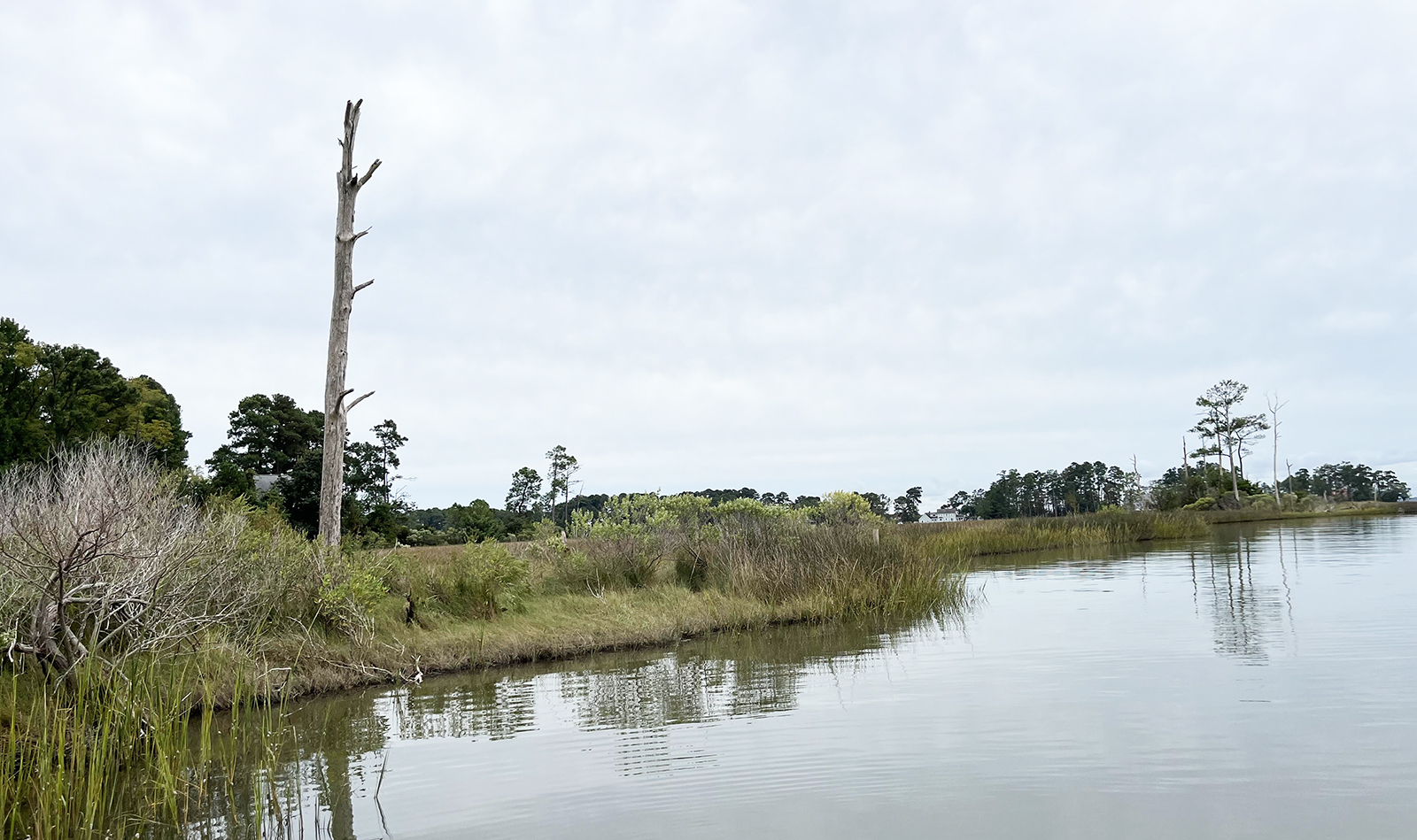
A storm-shaped shoreline.
Today, we know the submerged section of that peninsula simply as Windmill Point Bar. The part of the bar that’s above water reflects the ways weather has gnawed at it, forming marshes, coves, and creeks on both sides. In fact, Windmill Point itself is the outermost tip of Fleet’s Island, cut off from the mainland by a narrow inlet of Little Oyster Creek where the tide flows north into Oyster Creek and then the opening of Fleet’s Bay. The island lies exposed to powerful winds and waves driven by a 35-mile fetch of open water to the northeast from Pocomoke Sound’s Saxis Island and by a 26-mile fetch to the southeast from Cape Charles.
A detailed chart shows evidence of those powerful forces in steep channel edges where powerful currents have swept away everything except coarse sand and gravel, contrasting with shallow, muddy coves where pockets of still water have allowed fine sediment to settle. Intrigued by chart study, my Virginia Anglers Club friend Lynn Spurlin and I launched my skiff at Windmill Point Landing, which is owned by Lancaster County, to see with our eyes, the boat’s fishfinder, and a pushpole.
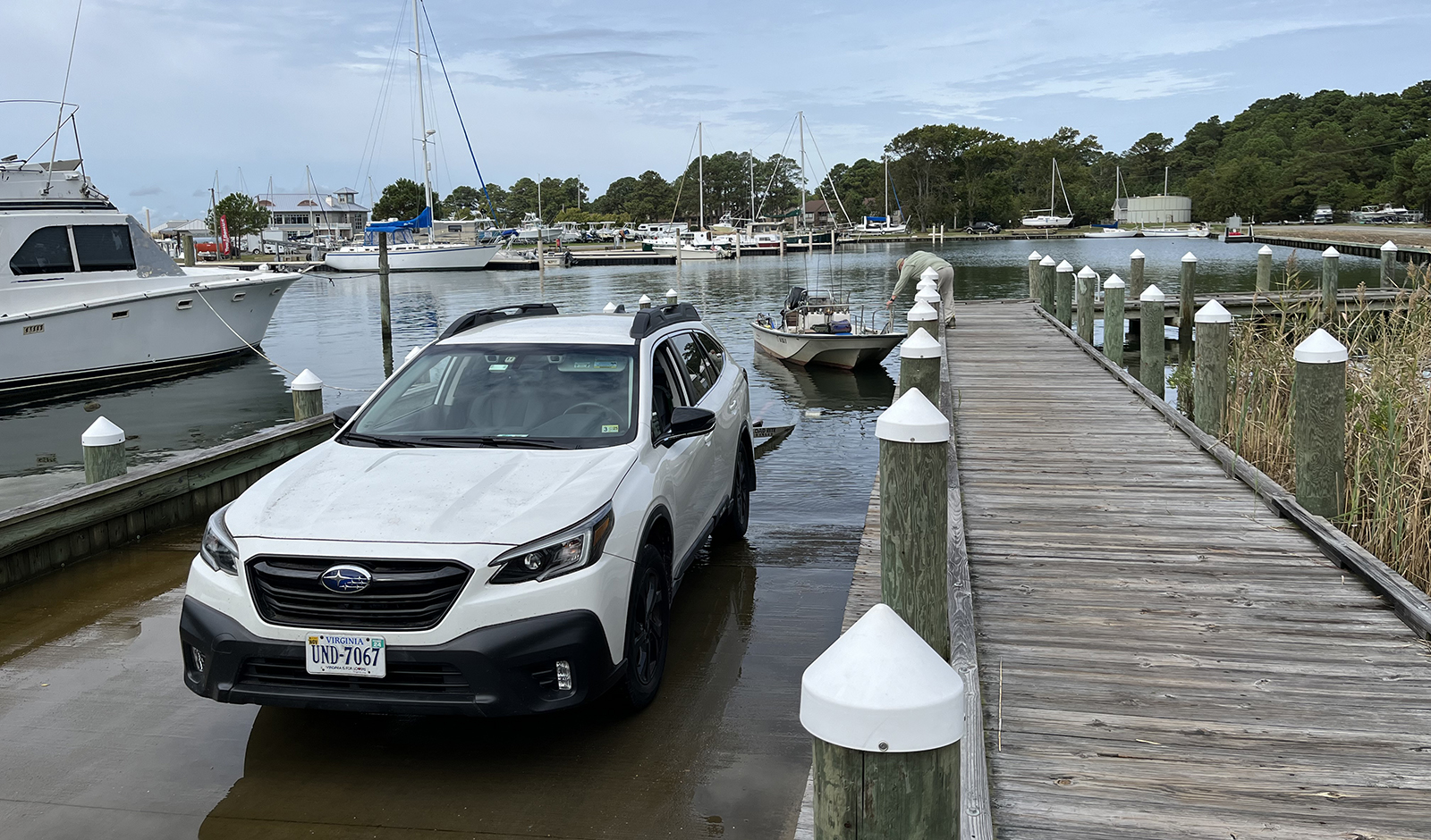
Putting in at Windmill Point Landing.
Named for a long-time local wooden boatbuilder, the late Fred Ajootian, the launch ramp and its pier tuck into the northeast corner of the basin that houses Windmill Point Marina. We explored out and around Fleet’s Island, into Little Bay on the other side of the peninsula. This is indeed wide, open water on a grand scale. At a micro level, we found tiny eddies formed around marshy points and along stone riprap, creating tiny bars and holes that reflect the same weathered shapes the macro charts show.
Naturally, we began to think about how plants and animals (including us humans) have found ways to take advantage of Windmill Point’s macro- and micro-features. From saltmarsh cordgrass and underwater widgeongrass to marsh periwinkles, oysters, blue and fiddler crabs, young red drum, and river otters, Windmill Point has offered soils for roots, sunlight for photosynthesis, and many kinds of food. The Wighcomoco Native Americans to the north and the Moraughtacund from just up the Rappahannock hunted, fished, and oystered here. Fleet’s Island and Bay carry the name of Capt. Henry Fleet, a colorful and prosperous 17th-century explorer, trader, and planter who patented this land for succeeding generations of his family. More recently, harvesting seafood for market led to establishment of the peninsula’s two watermen’s villages, Palmer and Foxwells. Today, Windmill Point is also a haven for weekend, vacation, and retirement folks who maintain houses or keep boats at Windmill Point Marina.
On our visit in late September, Lynn and I prowled the shoreline on the Fleets Bay side and threw a few casts into the wash and eddies at the ends of its rocky offshore breakwaters, but there was no current running and no action there. In Little Bay, we marveled at the large collection of brown pelicans, gulls, and cormorants roosting on the large array of sturdy oyster cages “floating in the unforgiving surf of the Chesapeake Bay” to grow superior shellfish, as the White Stone Oyster Company explains. We stopped to talk with a pair of company oystermen who affirmed the value of this exposed site for aquaculture.
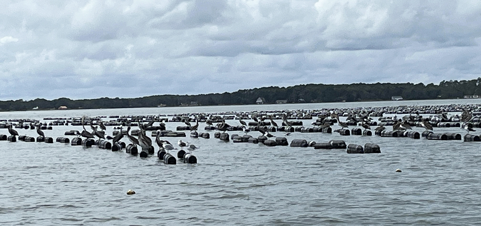
Oyster cages floating.
On our way back around Capt. Fleet’s island, we looked for dark areas in shallow flats indicating underwater grass beds marked in the 2023 survey of the Virginia Institute of Marine Science. The first one we spotted actually turned out to be a submerged line of stone riprap, but we didn’t notice that until after our first casts hooked a pair of sturdy red drum that took us in a merry chase around the skiff. Casting a rattle float above a small jig, Lynn hooked a fish just below Virginia’s slot limit (18″ – 26″). Mine ate a spoon immediately as it fluttered down at the end of the cast and resisted stoutly for five minutes, pulling drag until it finally came to net. It proved to be an inch above the slot, so both fish swam away after quick releases.
Lynn hooked another under-slot fish there while I tended to keeping the skiff off the riprap. No surprise that the fish were there: the rocks were crusted with mussels, barnacles, redbeard sponges, mud crabs, and other “live-bottom” critters, a smorgasbord for the redfish. The rocks also bore witness to the dynamic nature of Windmill Point, having been placed there years ago at some expense to stabilize the shoreline but since becoming submerged by erosion and sea level rise.
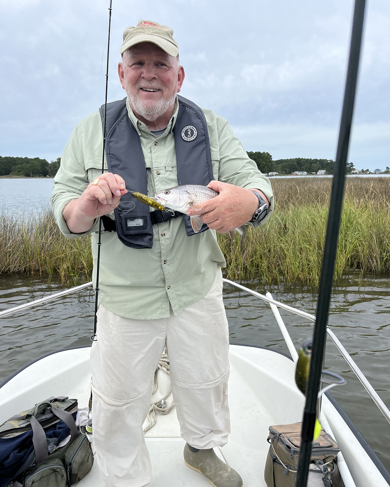
Lynn with a puppy drum he caught on a spook that he walked past a marsh point.
We rounded the point, and I poled while Lynn cast a jig with swimbait to several docks without action. With the water still high but no current moving, we explored Windmill Point Creek and its offshoot, Little Oyster Creek, up to the bridge where it connects with Oyster Creek. A marshy point in the creek attracted Lynn’s interest, so he tied on a gold spook-type lure and began a series of “walk-the-dog” surface retrieves. A fish blew up on it twice before finally hooking itself. This was another “just-under-slot” redfish, which we netted and released after a quick photo. It’s interesting to watch these puppy drum attack surface lures, because to strike with their underslung mouths, they must tilt their heads back so far that they lose sight of the target at the last instant. Hence the repeated attacks before the take.
On the way back to the ramp, we reflected on the remarkable window that Capt. Henry Fleet had on the Chesapeake, from the broad open waters outside to the creeks and marshes inside. Given appropriate weather, his island is made to order for circumnavigation by paddlecraft, whether their occupants are fishing, wildlife viewing, or simply exploring. In skiffs and larger craft, the inshore waters offer not only puppy drum but speckled trout, while the wider waters outside in the Rappahannock’s mouth and the open Bay offer rockfish, Spanish mackerel, bluefish, and cobia in season. That’s a lot of Wild to Explore from DWR’s Windmill Point Landing.
John Page Williams is a noted writer, angler, educator, naturalist, and conservationist. In more than 40 years at the Chesapeake Bay Foundation, Virginia native John Page championed the Bay’s causes and educated countless people about its history and biology.


