
Description
Bealers Ferry Pond, known to locals as Government Pond, is tucked away in 171 acres of the George Washington National Forest in northwestern Page County. A paved path leads to an accessible fishing pier in the southeast corner. Largemouth bass, sunfish, and catfish draw in Belted Kingfishers, and both Great Blue and Green herons, while the abundant aquatic vegetation refuels Ring-necked Ducks during stopovers in March and the thriving Wood Duck population in summer. The tall growth on either side of the path is a favorite spot for Eastern Towhees and Song Sparrows year-round, and White-throated Sparrows in winter.
A hand launch for canoes, kayaks, and small jon boats is just off the parking area. The area around Bealers Ferry Pond is a mixed forest with many paths to explore. Migrating warblers, such as Black-throated Blue, Cape May, Blackpoll, and Magnolia, are common in spring and fall. Worm-eating Warblers, Red-eyed and Blue-eyed vireos, and Blue-gray Gnatcatchers are just a few of the breeding summer species to expect.

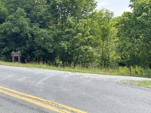
Access the river at the Bealers Ferry Boat Launch to look for birds or to go fishing. Photo Credit: Lisa Mease/DWR
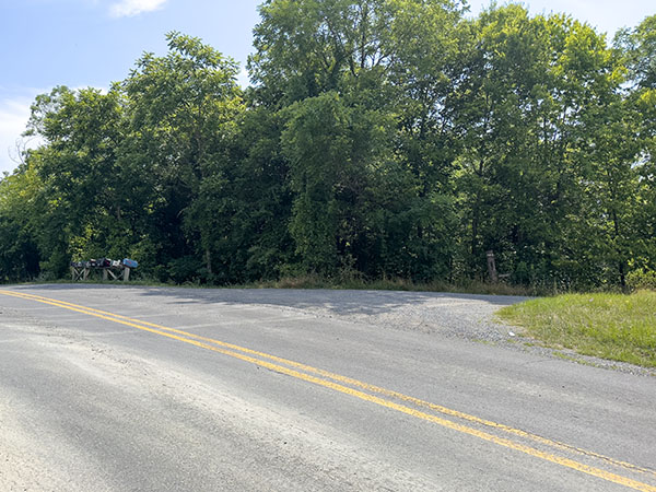
The Bealers Ferry Boat Launch driveway is 0.2 miles southwest of the pond. A concrete ramp is available to launch canoes, kayaks, and electric motorboats on the South Fork of the Shenandoah River. This is also a popular spot for fishing and relaxing in the river. Barn, Tree, Northern Rough-winged, and even Cliff swallows patrol the river in search of insects as Least Flycatchers, Eastern Kingbirds, and Eastern Phoebes sally out from branches that overhang the banks.
Notes:
- Check the river levels on the National Weather Service website before heading out.
- Restrooms are available at the pond but not the boat launch.
- Please be mindful of the property lines while exploring the woods around the pond; adjacent properties are privately owned.
Wildlife Sightings
128 species have been reported at this site to date.
Birds Recently Seen at Bealers Ferry Pond and Boat Launch:
Recent Checklists:
| Date | # of Species | Submitted By |
|---|---|---|
| 5 Dec 2025 | 10 | Thomas Magarian |
| 3 Dec 2025 | 21 | Thomas Magarian |
| 1 Dec 2025 | 6 | Lisa Filipy |
| 30 Nov 2025 | 6 | Lisa Filipy |
| 9 Nov 2025 | 8 | Lisa Filipy |
Amenities & Accessibility
Amenities
- On-site Parking
- Restrooms
- Kayak/Canoe Launch
- Boat Ramp
Other Amenities: Hiking Trails
Accessibility Considerations
This location does not have a Birdability Site Review available at this time
Learn more about Birdability’s efforts to map accessible outdoor spaces
Maps & Directions
Pond Parking Coordinates: 38.750557, -78.434829
Boat Launch Parking Coordinates: 38.748743, -78.437203
From Luray, head north on SR-675/Bixlers Ferry Rd, turn right onto SR-684/S Page Valley Rd, turn right in approximately 5.8 miles for the boat launch parking or in 6.0 miles for the pond parking.
Site Information
Managed By:
- U.S. Forest Service
Access Requirements:
- Free, Daily
Contact Information:
- Lee Ranger District: 540-984-4101
- Visit Website
Sites, or portions of sites, can be closed periodically for management activities. Please always check the site’s website for additional information prior to visiting.