
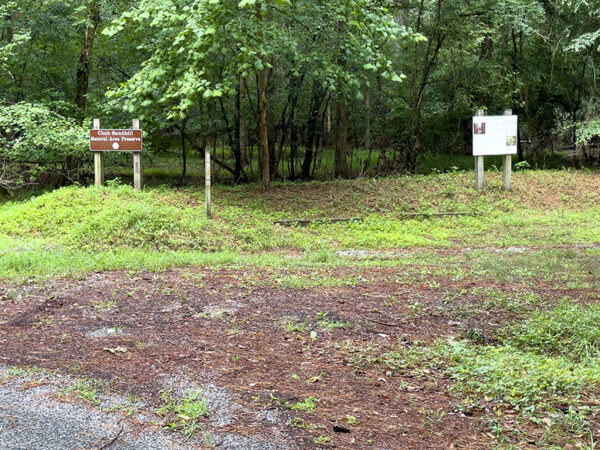
Description
Chub Sandhill Natural Area Preserve is over 1000 acres of mixed hardwood forest and DCR’s longleaf pine habitat restoration project. The main parking area serves as the trailhead for a 0.4-mile trail through the mature forest to an observation platform that overlooks the Nottoway River. Depending on the season, birds may be plentiful along this trail. During summer, birders can expect white-breasted and brown-headed nuthatches and several species of flycatchers and woodpeckers, along with the usual allotment of chickadees and titmice.
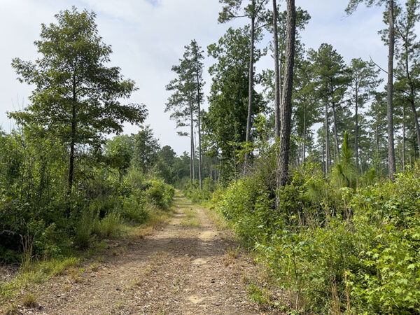
Hopefully one day, these longleaf pines will be home to red-cockaded woodpeckers. Photo Credit: Lisa Mease/DWR
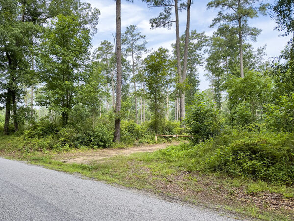
Another access gate is across the street from the Sussex County Convenience Center. This section feels like a completely different place because it’s where the longleaf pine habitat begins. There are many miles of trails that wind through the pines and shrubs. Warblers, sparrows, vireos, and woodpeckers are just some of the species to see here.
Notes:
- Part or all of the preserve may be periodically closed for resource protection or prescribed burning activities. Please call before visiting.
- Parking is not allowed in the Convenience Center lot. Park in the small pull-off across the street but do not block the gate.
Wildlife Sightings
134 species have been reported at this site to date.
Birds Recently Seen at Chub Sandhill Natural Area Preserve:
- Blue-headed Vireo
Recent Checklists:
| Date | # of Species | Submitted By |
|---|---|---|
| 4 Mar 2026 | 1 | Allen Bryan |
| 13 Feb 2026 | 13 | Oscar Upson |
| 7 Dec 2025 | 20 | Kevin Roback |
| 7 Nov 2025 | 7 | John Burleson |
| 11 Oct 2025 | 2 | James Shelton |
Amenities & Accessibility
Amenities
- On-site Parking
Other Amenities: Hiking Trails
Accessibility Considerations
This location does not have a Birdability Site Review available at this time
Learn more about Birdability’s efforts to map accessible outdoor spaces
Maps & Directions
Physical Address of Main Parking Area: 23890 Peters Bridge Rd, Waverly, VA 23890
Physical Coordinates of Main Parking Area: 36.863225, -77.185804
Second Access Physical Coordinates: 36.86629, -77.18111
From Wakefield, head west on SR-628/W Main St, turn right onto SR-729/Turkey Pen Rd, keep right to continue on SR-740/Walter Lanier Rd, slight left onto SR-622/Cedar Sign Post Rd, turn left onto SR-606/SR-622/Beaver Dam Rd, turn left onto VA-35 S/Jerusalem Plank Rd, slight right onto SR-631/Peters Bridge Rd, and the main parking area is on the right in approximately 2.4 miles.
Site Information
Access Requirements:
- Free, Daily
Contact Information:
- VA Dept. of Conservation & Recreation, Southeast Region Steward: 757-925-2318
- Visit Website
Sites, or portions of sites, can be closed periodically for management activities. Please always check the site’s website for additional information prior to visiting.