Description
Elevation: 1620 ft.
Gathright Dam provides access to both the southern end of Lake Moomaw and the beginnings of a float trip down the Jackson River. Before getting on the river, scan the lower reaches of Lake Moomaw for waterfowl and bald eagles, but don’t neglect the woods around the dam – white-tailed deer could be just a glimpse away.

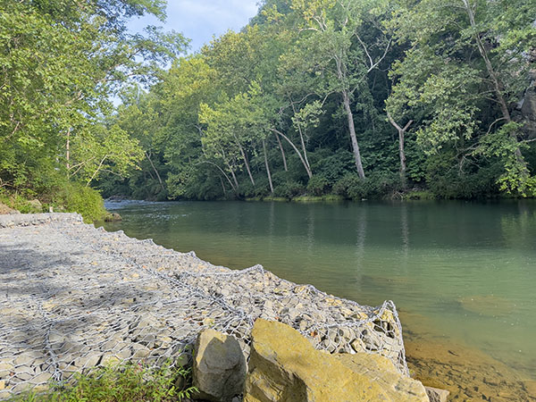
Put in just below the Gathright Dam and watch for common ravens, great blue herons, and black-capped chickadees while floating down the Jackson River. Photo Credit: Lisa Mease/DWR
Access to the Jackson River to float downstream via canoe or kayak is available just below the dam. This is one of the most relaxing ways of watching wildlife along the river. As you float downstream, search the banks for great blue and green herons or perhaps families of wood duck. In the early morning or at dusk, beaver and muskrat become more active and may catch your eye as you float downstream.
Notes:
- The US Army Corps of Engineers releases water from Gathright Dam on a regular basis, but also as needed. Check the COE’s website before heading out.
Directions

Physical Coordinates for Jackson River Access: 37.948184, -79.949165
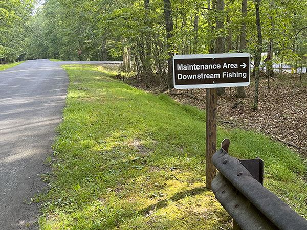
From Warm Springs, head south on US-220/Sam Snead Hwy, turn right onto SR-615/Main St in Hot Springs, continue onto VA-687/Jackson River Tpk, turn right onto SR-638/Natural Well Rd, turn right onto SR-666/E. Morris Hill Rd, turn right onto SR-605/Coles Mountain Rd, and either turn right onto Stilling Basin Road and follow it to the river access point, or stay on SR-605/Coles Mountain Rd to reach the dam.
Location & Directions
View on Google MapsSite Information
- Site Contact: (540) 962-2214 elizabeth.higgins@usda.gov
- Website
- Access: Free, Daily
Birds Recently Seen at Gathright Dam – Jackson River Float Trip (as reported to eBird)
- Chimney Swift
- Killdeer
Seasonal Bird Observations
Facilities
- Accessible
- Information
- Parking
- Picnic
- Restrooms
- Kayak/Canoe Launch
- Observation Platform

