
Description
The Varina LandLab Conservation Area contains 350 acres made up of grassland, riparian, river, forest, and early successional habitats along the James River. The Capital Region Land Conservancy (CRLC) has been protecting and restoring the property since 2017 and the Varina LandLab opened to the public in June 2023. Within the first 5 months, eBirders reported 95 species, including Northern Bobwhite, Yellow-breasted Chat, and Blue Grosbeak.
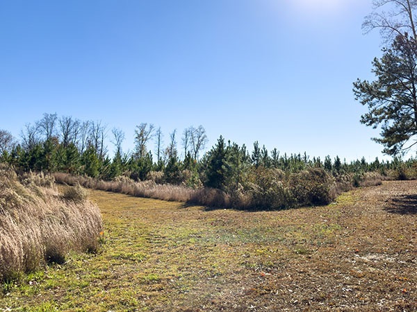
Multiple sparrow species can be found in the brush along the well-maintained trails. Photo Credit: Lisa Mease/DWR
Red foxes, American minks, and eastern river cooters are among the non-avian species seen here so far. The CRLC is continuing its work to restore the land to its natural state through tree plantings, prescribed burns, and invasive species removal, and they’re encouraging citizen scientists to submit sightings to eBird and iNaturalist so biodiversity changes can be tracked over time.
Notes:
- The James River and surrounding tributaries here are tidal and also subject to flooding. Check the tide predictions and water levels online before heading out.
- The only public access point along this section of Four Mile Creek is at Deep Bottom Park. Putting-in or taking-out at anywhere else is prohibited.
- An accessible porta-potty is available at Entrance #2. Full bathroom facilities can be found at Deep Bottom Park.
Wildlife Sightings
149 species have been reported at this site to date.
Birds Recently Seen at Varina LandLab Conservation Area:
- Northern Bobwhite
- Mourning Dove
- Chimney Swift
- Turkey Vulture
- White-eyed Vireo
- Field Sparrow
- Yellow-breasted Chat
- Blue Grosbeak
- Indigo Bunting
- Red-bellied Woodpecker
Recent Checklists:
| Date | # of Species | Submitted By |
|---|---|---|
| 3 Jul 2026 | 9 | Dylan Pearman-Hurt |
| 28 Jun 2026 | 18 | Conor Duffy |
| 27 Jun 2026 | 15 | Grace Morse |
| 27 Jun 2026 | 20 | Paul Bedell |
| 20 Jun 2026 | 6 | Stewart Gloyer |
Amenities & Accessibility
Amenities
- On-site Parking
- Restrooms
- Birdability Report Available
Other Amenities: Hiking Trails, Historical Site
Accessibility Considerations
This location has a Birdability Site Review available
Learn more about Birdability’s efforts to map accessible outdoor spaces
Maps & Directions
Entrance 1 Address: 8951 Deep Bottom Road, Richmond, VA 23231
Entrance 2 Address: 9051 Deep Bottom Road, Richmond, VA 23231
Entrance 3 Address: 9200 Deep Bottom Rd, Richmond, VA 23231
From I-295, take exit 22A to merge onto VA-5 E/New Market Rd, turn right onto Kingsland Rd, turn left onto Deep Bottom Rd, and park at one of the three entrances along Deep Bottom Rd.
Site Information
Access Requirements:
- Free, Daily
Contact Information:
- Phone: 804-495-1293
- Email: ashley@capitalregionland.org
- Visit Website
Sites, or portions of sites, can be closed periodically for management activities. Please always check the site’s website for additional information prior to visiting.