
Sites On This Loop
- MMR01: New River Campground Area – This site has been withdrawn from the VBWT
- MMR01A: New River Trail State Park – Ivanhoe Birding Trail
- MMR02: Raven Cliff Karst Area
- MMR03: Comers Rock Campground – This site has been withdrawn from the VBWT
- MMR04: Hale Lake
- MMR05: Homestead Road/Fairwood Valley
- MMR06: Grindstone Campground
- MMR07: Grayson Highlands State Park
- MMR08: Mt. Rogers National Recreation Area
- MMR09: Whitetop Mountain
- MMR10: Elk Garden
- MMR11: Skull’s Gap Overlook
- MMR12: Whitetop Laurel Fishing and Viewing Area
- MMR13: Beartree Lake/Campground – Mt. Rogers NRA
- MMR13A: Backcountry – This site has been withdrawn from the VBWT
Description
Many of the sites in the Mount Rogers Loop are within the 150,000 acres of the Mount Rogers National Recreation Area, a part of the George Washington and Jefferson National Forest. This entire region is often referred to as the “rooftop of Virginia,” because it is home to the highest point in the Old Dominion. The summit of Mount Rogers stands at an elevation of 5729 feet, while Virginia’s second highest peak is nearby Whitetop Mountain at 5520 feet. The high elevation range makes this a magnificent stop for nature enthusiasts and wildlife lovers. Neotropical songbirds typically nesting in more northern climates can be found breeding within this region. Blackburnian warbler, black-capped chickadee, golden-crowned kinglet and even red crossbill and northern saw-whet owl may be found here in summer. Salamander diversity includes an abundance of Jordan’s salamander, and rarities such as pygmy salamander. Visitors should anticipate cooler temperatures at these higher elevations even during summer, despite the warmer climate of surrounding areas of lower elevations. The Appalachian Trail meanders throughout this area as well.
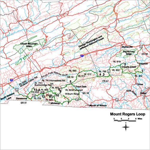
Loop Map
Services
Blue Ridge Travel Association
276.619.5003
info@virginiablueridge.com
Carroll County Chamber of Commerce
276.728.5397
carrollchamber@aisva.net
Town of Damascus
276.475.3831
info@damascus.org
Galax-Carroll-Grayson Chamber of Commerce
276.236.2184
email@gcgchamber.com
Grayson County Tourist Information Center
276.773.3711
grayson@ls.net
Smyth County Chamber of Commerce
276.783.3161
info@smythchamber.org
Smyth County Chamber of Commerce
276.783.3161
smythcofc@netva.com
Washington County Chamber of Commerce
276.628.8141
chamber@eva.org
Wythe County Parks, Recreation and Tourism
276.223.6022
rekohl@wytheco.org
Wytheville-Wythe-Bland Chamber of Commerce
276.223.3365
chamber@wytheville.com