
Description
Elevation: 883 ft.
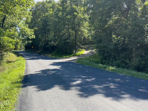
The lower slopes of this mountain support a mosaic of fields, hardwoods and conifers with numerous brush piles and regrowth supporting a variety of wildlife. Birds to look for in this area include Ruby-throated Hummingbird, a variety of woodpeckers, Eastern Wood-Pewee, Common Raven, eastern bluebird, red-Indigo Bunting, and Eastern Towhee. The complex habitats also support numerous butterflies including common wood-nymph, red-spotted purple, spicebush and eastern tiger swallowtails. Dragonflies in the area include eastern pondhawk and common whitetail.
Notes:
- The Massanutten East Route (Forest Trail #408) may appear on some maps as part of the Tuscarora Veach Gap Trail (Forest Trail #405.1).
- It can be accessed via the Shawl Gap Trail (Forest Trail #406) on the east side of the mountain or via the Tuscarora Veach Gap Trail that begins in Elizabeth Furnace Recreation Area on the west side. The approach hikes are strenuous with large elevation gains, especially Shawl Gap Trail, and are not recommended for beginners. Consult a topographic map prior to heading out.
- Shawl Gap Trail is minimally maintained and may be impassable in summer due to high grass.
Wildlife Sightings
81 species have been reported at this site to date.
Birds Recently Seen at Massanutten East Route:
Recent Checklists:
| Date | # of Species | Submitted By |
|---|---|---|
| 16 May 2026 | 14 | Greg Fleming |
| 17 Apr 2026 | 11 | Greg Fleming |
| 16 May 2025 | 43 | Greg Fleming |
| 14 May 2025 | 6 | Christopher Rademacher |
| 1 Jul 2024 | 18 | Jake Snow |
Amenities & Accessibility
Amenities
- On-site Parking
Other Amenities: Bike Trails, Hiking Trails
Accessibility Considerations
This location does not have a Birdability Site Review available at this time
Learn more about Birdability’s efforts to map accessible outdoor spaces
Maps & Directions
Shawl Gap Trailhead Parking Address: 4519 Panhandle Rd, Front Royal, VA 22630, Coordinates: 38.895489, -78.304840
Approximate Coordinates of the Intersection of Shawl Gap Trail and Massanutten East Route: 38.920010, -78.318169
From Front Royal, head west on US-340 S/S Royal Ave., turn right onto SR-619/Rivermont Dr., turn right to stay on SR-619/Mountain Rd., turn left onto SR-608/Wilson Burke Rd., turn left onto SR-613/Panhandle Rd., and the entrance to the trailhead parking is on the right in approximately 1 mile.
Site Information
Managed By:
- U.S. Forest Service
Access Requirements:
- Daily, sunrise-sunset; admission free
Contact Information:
- (540) 984-4101
- Visit Website
Sites, or portions of sites, can be closed periodically for management activities. Please always check the site’s website for additional information prior to visiting.