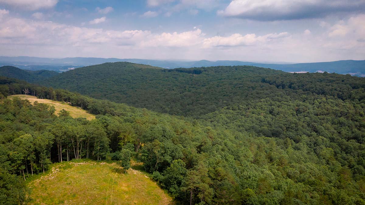
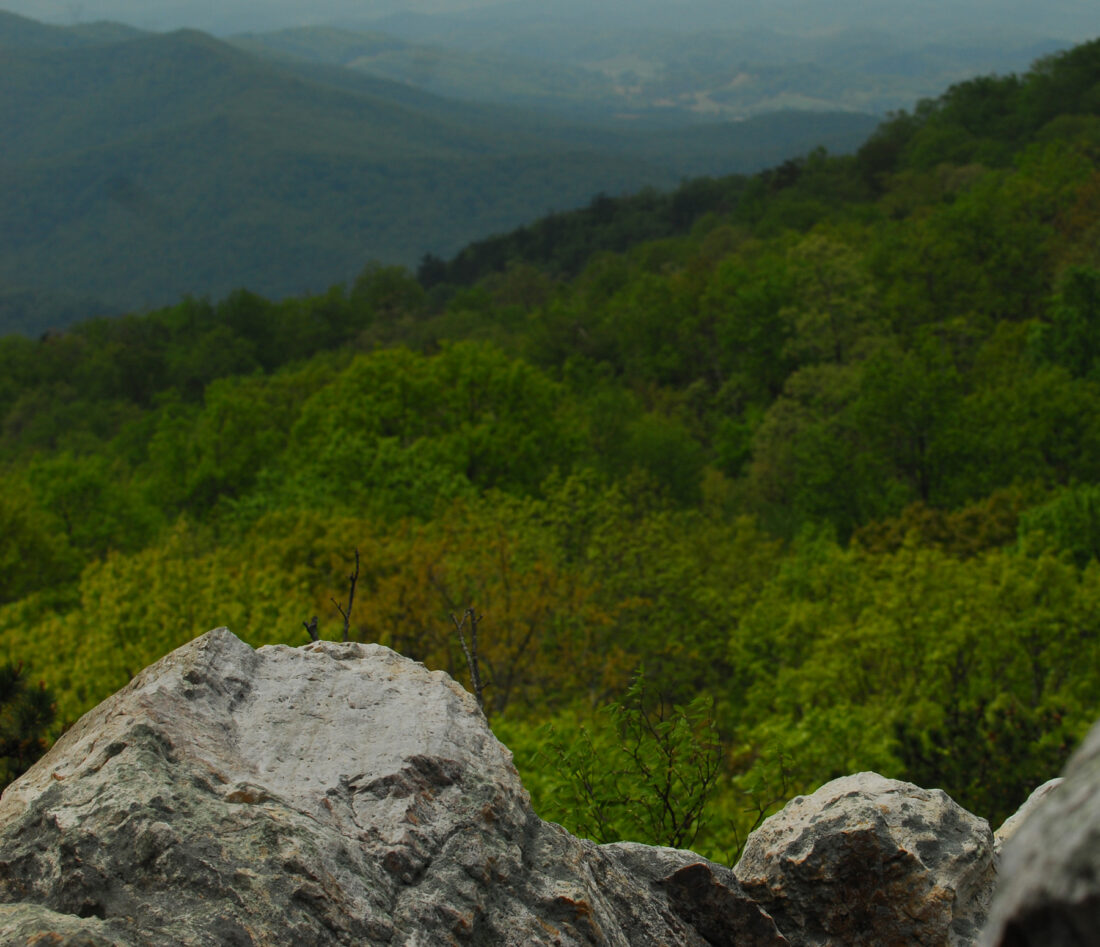
Big Survey Wildlife Management Area is in the earliest stages of development. Overlooking the southwestern Virginia town of Wytheville, this area is easily accessible from Interstates 81 and 77. Come see the colorful display of azaleas and rhododendrons in May, hike to the ridge tops for beautiful 360° views, or hunt for deer or turkey.
The Big Survey Wildlife Management Area rests atop four mountain ridges in the middle of Wythe County, Virginia. The property’s 7,500-acre woodland is just south of Wytheville and divides the Reed Creek and Cripple Creek watersheds in New River Valley. Oaks, hickories, and yellow pines dominate the rugged landscape featuring unusual quartzite outcroppings. The sandy soils of the area support a variety of interesting plants, including abundant rhododendrons, milkweed, and azaleas.
Hunting
Sunday Hunting Opportunities on Public Lands in Virginia »
Big Survey offers excellent deer, turkey and squirrel hunting. Both gray squirrels and fox squirrels are abundant on the property. Bear are present on the property and still hunting for bear is allowed, but hunting with hounds is prohibited. Other game species present are ruffed grouse, cottontail rabbit, and raccoon.

Fishing
Big Survey has sandy, well-drained soils and most creeks on the property are not perennial streams. The area offers no fishing.
Other Activities
Big Survey offers outdoor enthusiasts hiking, birding, and nature study opportunities. The display of rhododendrons and azaleas is best in late May. Birding is probably best at this time also, as neotropical migrants fill the deciduous woodland. Both the Towers Trail (1,271-foot climb in 1.8 miles) and the High Rocks Trail (520-foot climb in 1.3 miles) lead to spectacular views of the surrounding country.

Facilities
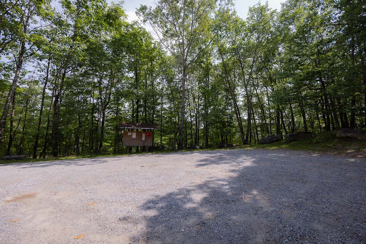
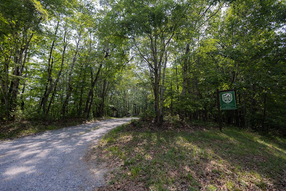
Two parking areas provide access to the Tower Trail and the High Rocks Trail. Additional parking areas will become available as DWR develops this property.

Directions
Big Survey is within two hours drive of Blacksburg, Bluefield, Bristol, Johnson City, Kingsport, Martinsville, Princeton, Radford, Roanoke, Statesville, and Winston-Salem. The area lies immediately south of Wytheville. State Route 640 bisects the property. Take Exit 80 from I-81 to reach State Route 640 (Piney Mountain Road) from Fort Chiswell via US Route 52 south and VA Route 94. Take Exit 73 from I-81 to reach State Route 640 via the interstate service roads and State Routes 649 and 720. Take Exit 70 from I-81 to reach either State Route 696 (Barrett’s Mill Road) or State Route 684 (Pump Hollow Road) via 4th Street and US Route 21 south.

What To Know Before Visiting
A valid Virginia hunting or trapping license, fishing license, current certificate of Virginia boat registration, access permit, or current “Restore the Wild” membership is required to use this area.
Recreational Opportunities
- Hunting
- Trapping
- Primitive Camping (Requirements for Camping on WMAs)
- Hiking
- Horseback Riding
- Birding
Images by: Lynda Richardson/DWR

