Important Notices for this WMA
| Notice |
|---|
| Seasonal Road Closures on WMAsSeasonal roads on Wildlife Management Areas are being closed early where possible due to the persistent poor winter conditions. These roads will remain closed until their scheduled spring opening the first Saturday in April. The public is asked to please use caution and if possible, avoid utilizing WMA roads that are open all year during inclement winter weather and poor road conditions. |
Overview
Located near the geographic center of Virginia, Horsepen Lake Wildlife Management Area contains the 18-acre Horsepen Lake. The management area’s 2,910 acres contain a diverse set of forested habitats mixed with numerous openings that are attractive to a wide variety of wildlife species.
The area consists of 2,910 acres of rolling hills with numerous small streams and beaver ponds. It is situated on the southeastern part of the Slate River drainage at an elevation of about 500 feet. The area supports extensive pine and hardwood forests. The hardwoods include a mixture of mature oaks and hickory. Areas of forest regeneration include both hardwood and pine. Mature bottomland hardwoods along the many streams round out the timber types on the management area.
Hunting
Sunday Hunting Opportunities on Public Lands in Virginia »
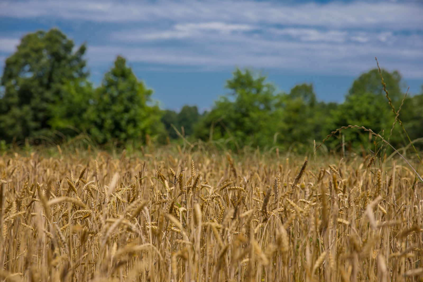
The management area’s diverse timber stands provide excellent habitat for a variety of wildlife. The primary game species on the area are deer, turkeys and squirrel. Dove fields are planted on the north side of Route 768 and provide excellent dove hunting. Other small game species on the management area include woodcock, rabbits, and quail. Numerous furbearers including raccoons, foxes, bobcats, beavers, muskrats, otters, and some mink can be found on the area’s diverse habitats. Habitat management involves the development of annual and perennial plantings for upland wildlife species. An active forest management program promotes diverse, healthy forest stands that enhance habitat conditions for deer, turkeys, squirrels, quail, rabbits, and woodcock.
Fishing
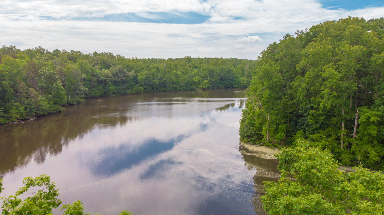
The 18-acre Horsepen Lake was formed by damming Horsepen Creek.
Other Activities
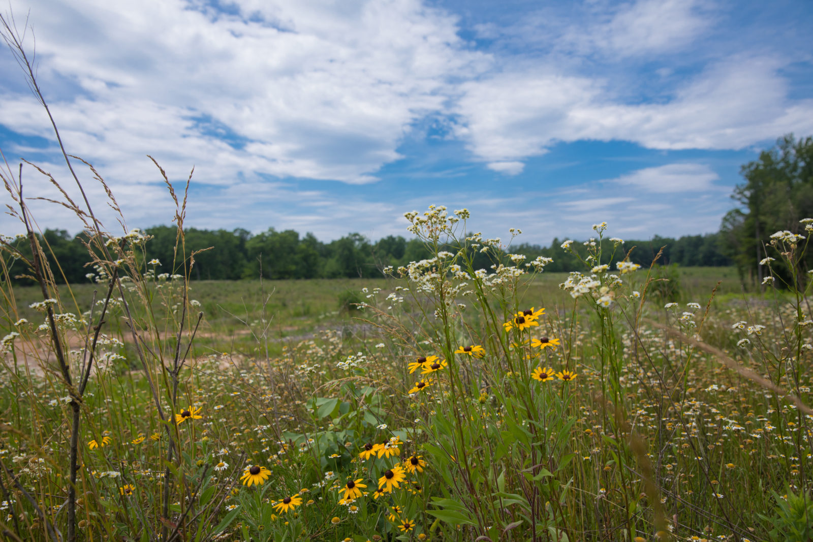
Trails are maintained regularly and get frequent use from scout troops and school groups for hiking and nature study. The variety of forested habitats provides excellent opportunities to view a wide variety of forest birds. Southwest of Horsepen is the Appomattox-Buckingham State Forest, Holiday Lake State Park, and the Willis River which provides additional hunting, fishing, and camping opportunities.
Facilities
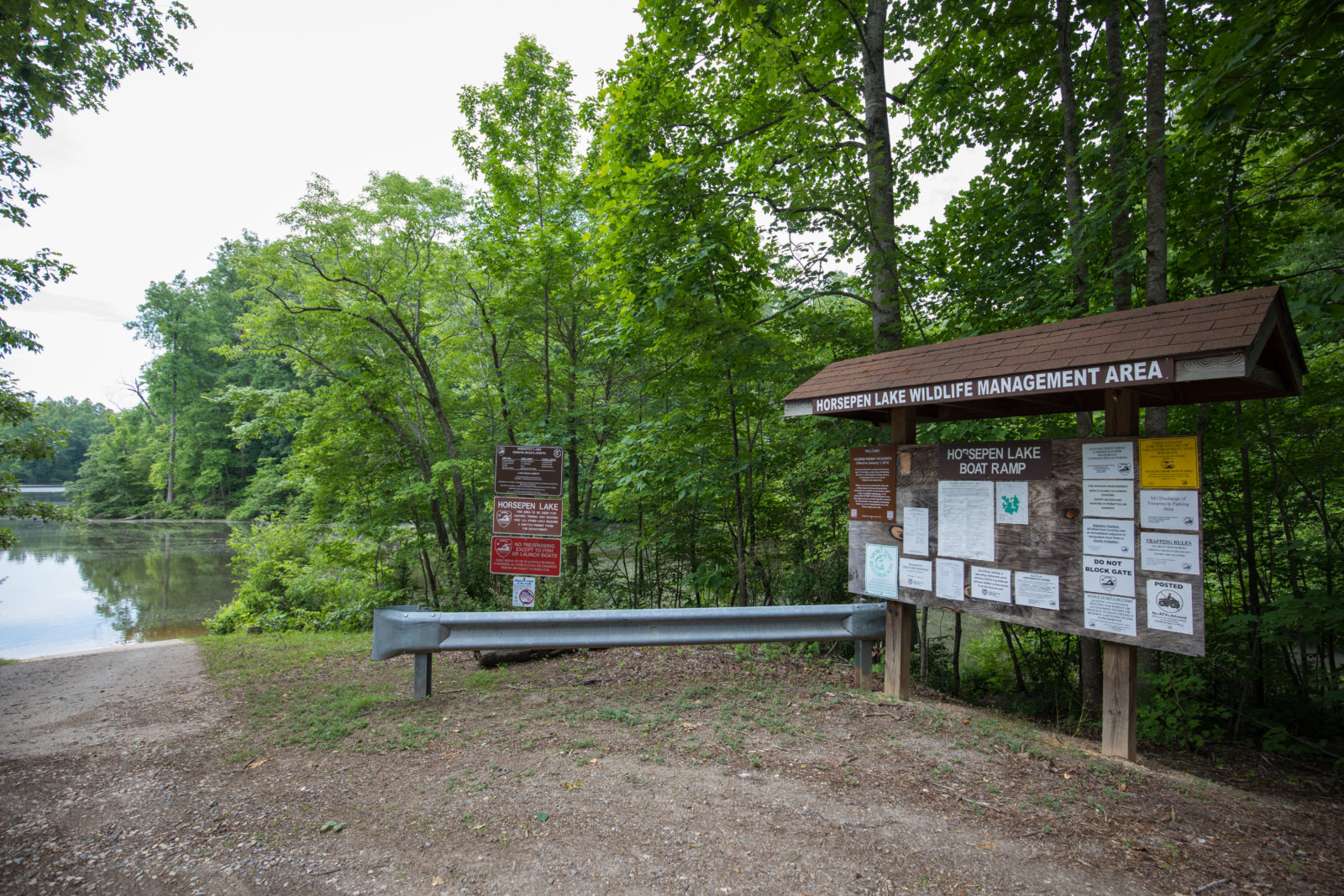
A concrete ramp offers good boating access to the lake. Parking is available on more than a dozen parking lots placed throughout the area. A shelter on the ridge overlooking the lake is provided for your picnic lunch.
Maps & Directions
Situated near U. S. Route 60 in Buckingham County, the area is approximately 65 miles west of Richmond and 40 miles south of Charlottesville. Access to the area is from U.S. Route 60 at Buckingham Courthouse, the closest town. Just west of the courthouse take route 638 south to the management area. Additional entry points to the area can be found on the map.
Map of Horsepen Lake WMA
What To Know Before Visiting
A valid Virginia hunting or trapping license, fishing license, current certificate of Virginia boat registration, access permit, or current “Restore the Wild” membership is required to use this area.
Recreational Opportunities
- Hunting
- Trapping
- Primitive Camping (Requirements for Camping on WMAs)
- Hiking
- Horseback Riding
- Wildlife Viewing
- Boat Ramp(s)
Images by: Meghan Marchetti/DWR

