
Overview
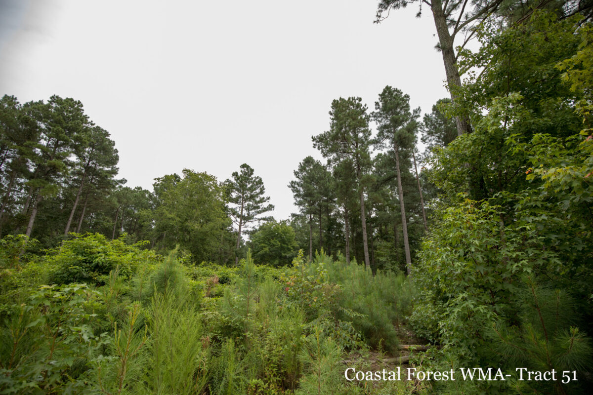
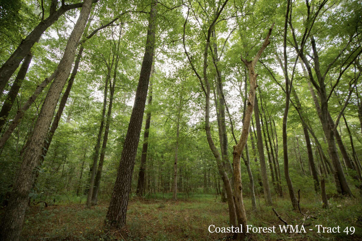
Located between the Atlantic Ocean and the Chesapeake Bay on the Eastern Shore of Virginia, the Coastal Forest Wildlife Management Area (WMA) consists of 65 unique parcels of discontiguous bayside and seaside properties totaling about 8,645 acres—primarily in Accomack County with parcels also located in Northampton County. Formerly owned by Chesapeake Corporation, the newly acquired parcels were managed for lumber and forest production and currently consist of dense secondary growth pine habitat with sparse distribution of some hardwoods.
Strategically situated along the Atlantic Flyway, the Coastal Forest WMA is crucial to millions of avifauna traveling this major migratory route. In addition to the value for migratory bird species, the properties will also furnish quality habitat for upland game species, such as American woodcock, northern bobwhite, and wild turkey.
Hunting
Sunday Hunting Opportunities on Public Lands in Virginia »
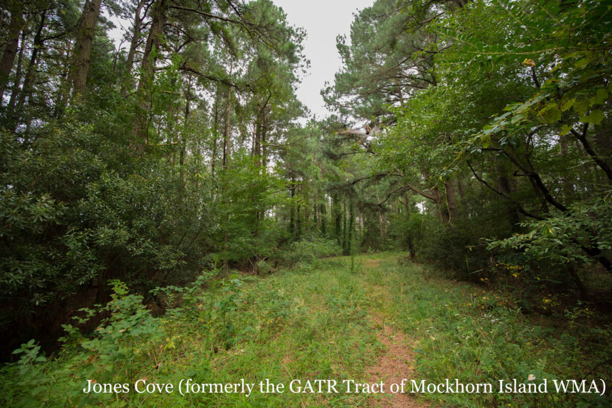
A subset of these properties—including 11 new tracts within the Coastal Forest WMA consisting of nearly 5000 acres, 328 new acres added to Doe Creek WMA, and 400 new acres added to Saxis WMA—will be open to hunting for deer season along with the existing hunting opportunities along the Eastern Shore at Doe Creek, Saxis, and Jones Cove (formerly the GATR Tract of Mockhorn Island WMA). Archery season begins Saturday, October 7th, 2023. Muzzleloader season begins November 4th. Firearm season opens November 18th, 2023 and closes January 6th, 2024. All federal and state laws and county and DWR regulations apply.
Coastal Forest WMA Special Regulations
Deer specific regulations:
- No hunting with dogs.
- Single projectile ammunition only.
- Must be elevated 10 feet when hunting with rifle .23 caliber or larger.
* All state and county regulations apply. See current Hunting & Trapping Regulations Digest.
Information Hubs at the Upper Accomack (Upper Accomack Map Link), Middle Accomack (Middle Accomack Map Link), and Lower Accomack (Lower Accomack Map Link) complexes of the Coastal Forest WMA will contain information, maps, and updates to help hunters find parking areas and access points to these new hunting opportunities. Each parking area will be marked with a DWR sign identifying the tract as part of the Coastal Forest WMA with a tract number and a map to the parcels within.
Maps & Directions
| Tract Name | Latitude | Longitude | Tract | Hub Location | Tract Map | Google Maps Link |
|---|---|---|---|---|---|---|
| Horntown | 37.97629929 | -75.50250244 | 51 | Tract 51 | Map | |
| Horntown | 37.97689819 | -75.47579956 | 51 | Tract 51 | Horntown Tract Map | Map |
| Tull | 37.99480057 | -75.49620056 | 54 | Tract 51 | Tull Tract Map | Map |
| Hope | 37.99919891 | -75.55740356 | 53 | Tract 51 | Hope Tract Map | Map |
| Shortwoods | 37.96250153 | -75.56759644 | 50 | Tract 51 | Shortwoods Tract Map | Map |
| Thomas Farm | 37.95230103 | -75.55599976 | 48 | Tract 51 | Thomas Farm Tract Map | Map |
| Thomas Farm | 37.94850159 | -75.55259705 | 48 | Tract 51 | Map | |
| AF Johnson | 37.95069885 | -75.51290131 | 49 | Tract 51 | AF Johnson Tract Map | Map |
| Justice | 37.93259811 | -75.5121994 | 47 | Tract 51 | Justice Tract Map | Map |
| Ewing-Matthews | 37.92029953 | -75.58049774 | 43 | Tract 51 | Ewing-Matthews Tract Map | Map |
| Thomas Nock #2 | 37.9253006 | -75.56790161 | 44 | Tract 51 | Thomas Nock #2 Tract Map | Map |
| Tract Name | Latitude | Longitude | Tract | Hub Location | Tract Map | Google Maps Link |
|---|---|---|---|---|---|---|
| Muddy Creek | 37.84629822 | -75.62380219 | 32 | Tract 32 | Map | |
| Muddy Creek | 37.84659958 | -75.62400055 | 32 | Tract 32 | Muddy Creek Tract Map | Map |
| Hall | 37.8993988 | -75.58070374 | 41 | Tract 32 | Hall Tract Map | Map |
| Byrd | 37.86980057 | -75.60919952 | 38 | Tract 32 | Byrd Tract Map | Map |
| Taylor | 37.79940033 | -75.68170166 | 23 | Tract 32 | Taylor Tract Map | Map |
| Ewing-Parks | 37.7881012 | -75.67610168 | 22 | Tract 32 | Ewing-Parks Tract Map | Map |
| Tract Name | Latitude | Longitude | Tract | Hub Location | Tract Map | Google Maps Link |
|---|---|---|---|---|---|---|
| Ames | 37.60369873 | -75.7335968 | 9 | Tract 9 | Map | |
| Ames | 37.59469986 | -75.72570038 | 9 | Tract 9 | Ames Tract Map | Map |
| Hopkins-Hancock | 37.68650055 | -75.78510284 | 14 | Tract 9 | Hopkins-Hancock Tract Map | Map |
| Ewing-Hopkins | 37.68249893 | -75.79370117 | 13 | Tract 9 | Ewing-Hopkins Tract Map | Map |
| Ewing-Cashville | 37.68299866 | -75.81089783 | 12 | Tract 9 | Ewing-Cashville Tract Map | Map |
| Hayman | 37.68659973 | -75.83470154 | 11 | Tract 9 | Hayman Tract Map | Map |
| Lassiter | 37.62030029 | -75.77429962 | 7 | Tract 9 | Lassiter Tract Map | Map |
| Savage | 37.58710098 | -75.75479889 | 8 | Tract 9 | Savage Tract Map | Map |
| Lizzie West | 37.60179901 | -75.78970337 | 6 | Tract 9 | Lizzie West Tract Map | Map |
Map of Coastal Forest WMA
What To Know Before Visiting
A valid Virginia hunting or trapping license, fishing license, current certificate of Virginia boat registration, access permit, or current “Restore the Wild” membership is required to use this area.
Additional Documents
- Coastal Forest WMA - Upper Accomack Complex Map
- Coastal Forest WMA - Mid-Accomack Complex Map
- Coastal Forest WMA - Lower Accomack Complex Map
Recreational Opportunities
- Hunting
- Horseback Riding Prohibited
Images by: Meghan Marchetti/DWR